Free, no signup. The PDF has the puzzle on page one and the answer key on page two.
Geography Terms Word Search
11 words · 12×12 grid
How to play: click (or tap) the first letter, drag to the last letter, then release. Words go in any direction, including backwards. Or download the PDF to solve on paper.
Find these words
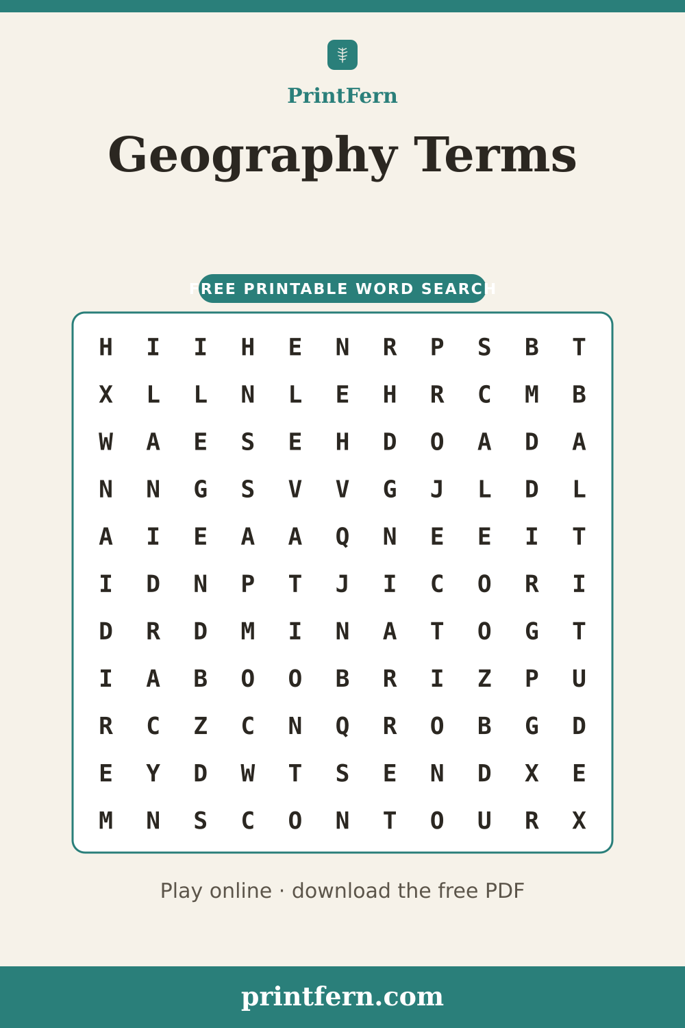
Reading a map is a skill built on a handful of terms. A compass points to the cardinal directions, and a grid of lines including the meridian lets you name any location. The legend explains each symbol, while the scale shows how map distance compares to real distance. Contour lines trace elevation so you can picture the terrain, and altitude describes height above sea level. Every flat map relies on a projection. This word puzzle gathers eleven of them.
Frequently asked questions
What is a map projection in this geography terms word search?
A PROJECTION is a method of drawing the curved Earth on a flat surface. Every one stretches something, so mapmakers choose which to distort.
What do contour lines show?
CONTOUR lines connect points of equal ELEVATION, so tightly spaced lines mean steep TERRAIN and wide spacing means gentle slopes.